Be the first to review this product
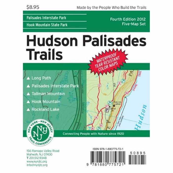
HUDSON PALISADES TRAILS MAP

Digital five-map set, produced using the latest GPS technology. Includes the Long Path from the George Washington Bridge to Mount Ivy, the Shore Trail along the Hudson River in the New Jersey Section of the Palisades Interstate Park, as well as hiking trails in Tallman Mountain, Blauvelt, Rockland Lake, Hook Mountain and High Tor State Parks in New York. Also includes trail systems in Flat Rock Brook Nature Center, Tenafly Nature Center/Lost Brook Preserve and Rockleigh Woods Sanctuary/Lamont Reserve in New Jersey. The scale is 1:12,000, with 20-foot contours. -5 map set -Printed on waterproof tearproof tyvek sheets -Printed in 6 colors for your map reading comfort -Trail listings by color and location -40 miles of the Long Path -UTM Gridlines -Historical notes and features -View points -Parking information -Water sources -Palisades State Park -Flat Rock Brook Nature Center -Tallman Mountain State Park -Clausland Mountain County Park -Blauvelt State Park -Hook Mountain State Park -High Tor -Publisher - New York New Jersey Trail Conference
Ratings & Reviews
Be the first to review this product
More from NYNJ TRAIL CONFRNCE